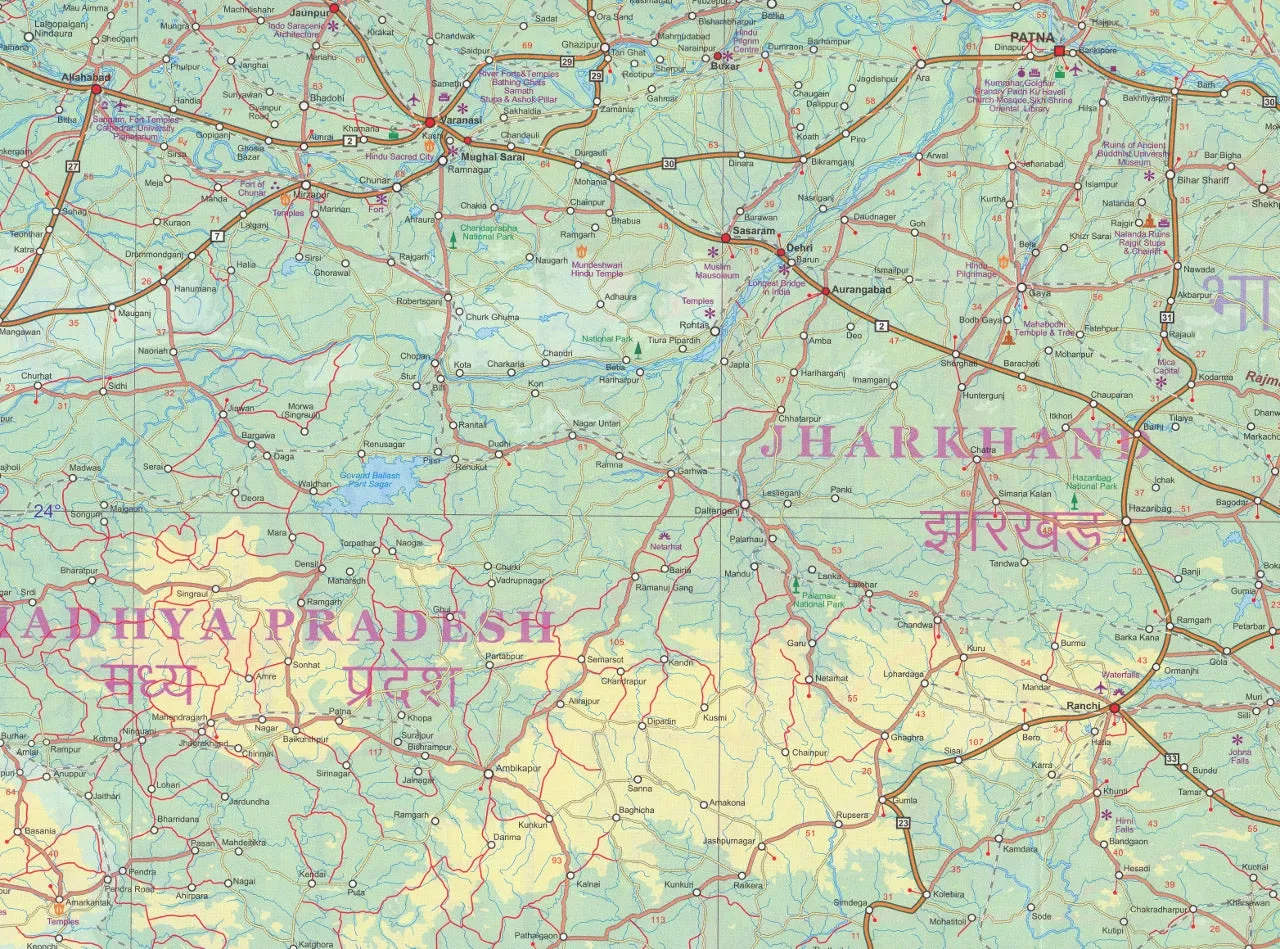
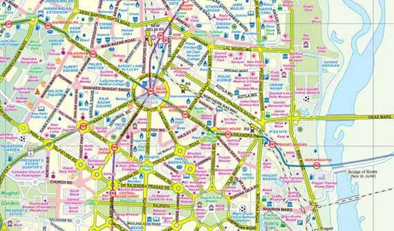
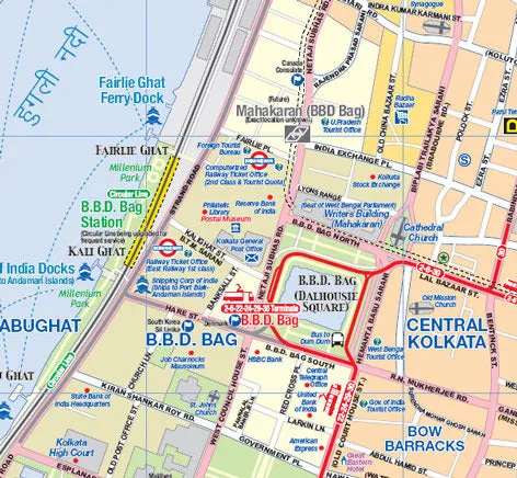
Folded travel and reference map of Calcutta and North East India. Calcutta map legend includes metro/subway, trams/streetcar lines, parks, attractions, accommodations, churches, synagogues, points of interest, museums, police stations, shopping centres, hospitals, pedestrian streets, selected walking routes. Includes inset map of Calcutta and region.
North East India map distinguishes roads ranging from main highways to undeveloped roads. Legend includes railways, glaciers, reefs, historic cities/developments, forts/castles/ruins, museums, temples, Buddhist temples, hospitals, mosques, beaches, international/domestic airports, buildings of interest, national parks, wildlife parks, hill stations, scenic places, resort areas, gardens, caves, golf courses, rafting/boating areas, border crossings. Extensive index.
We can laminate this map, which will allow you to draw on it in whiteboard marker or apply to locations of interest without permanently marking the map. The lamination also makes the map very durable and protects against tears and stains.
To laminate this map we have taken the folded map and flattened it out before encapsulating it in high-quality 80-micron laminate, so please be aware that there will still be slight fold lines visible.
Scale 1:10,000 / 1:2,300,000
Size 690 x 1000mm

 Cart(
Cart(
